
Ausgangspunkt IKARUS Bergstation 1.834 m
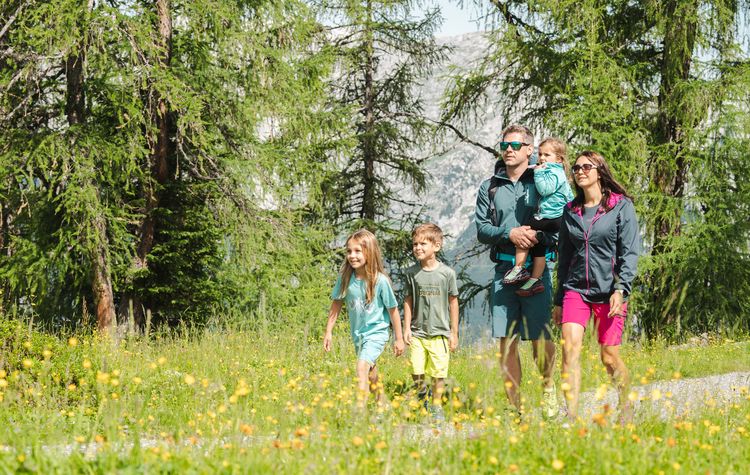
IKARUS Panorama Loop Trail
Time: 35 min Elevation change: 9 m
Length: 1 km Trail numbers: 52e
Starting point: IKARUS mountain station. A stroller- and wheelchair-accessible circular trail around the Bischling.
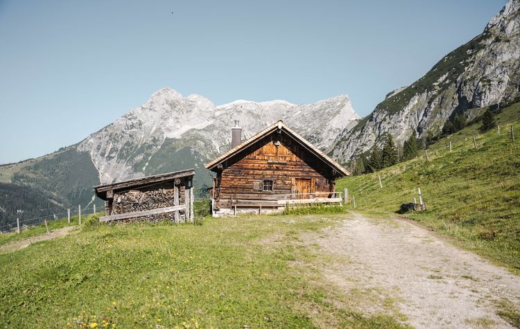
Bischling Loop Trail
Time: 2 hrs Elevation change: 278 m
Length: 6.8 km Trail numbers: 52 + 52c
Starting point: IKARUS mountain station. Pass the Bischlinghöhe mountain inn toward Bischlingalm, turn left toward Ladenberg, continue to Moosalm, then return uphill to the mountain station.
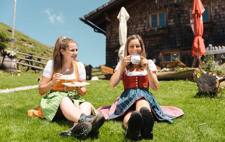
Ladenberg Hike
Time: 45 min Elevation change: 25 m (282 m downhill)
Length: 3.1 km Trail numbers: 52 + 52d
Starting point: IKARUS mountain station. Head toward Ladenberg to Moosalm, then via the Anton-Proksch-Haus (currently closed) to Mayrhofalm.
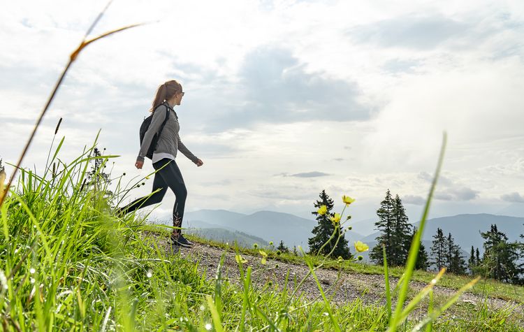
Brandlberg Köpfe High Trail
Time: 3 hrs Elevation change: 207 m
Length: 8 km Trail numbers: 52 + 52d + 51
Starting point: IKARUS mountain station. Head toward Ladenberg, past the Anton-Proksch-Haus (currently closed) to Mayrhofalm, then over the Brandlberg Köpfe to Frommer Niederalm.

Culinary Hike
Time: 3 hrs Elevation change: 72 m (930 m downhill)
Length: 7.9 km Trail numbers: 52 + 52d + 51
Starting point: IKARUS mountain station, heading toward Ladenberg to Moosalm, then via the Anton-Proksch-Haus (currently closed) to Mayrhofalm, and downhill past the Dr.-Heinrich-Hackelhütte to Wengerau-Alm.

Bischling Summit Hike
Time: 3 hrs Elevation change: 858 m
Length: 6.4 km Trail numbers: 51 + 52
Starting point: IKARUS valley station, via Hundsdorfalm (not operated) to Strussingalm (currently closed), then on to Moosalm and via Ladenberg back to the IKARUS mountain station.
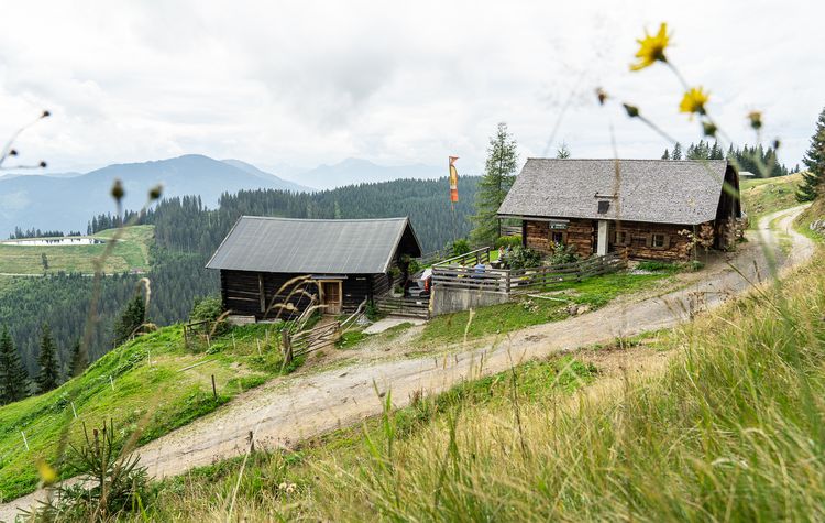
Valley Hike via Bischlingalm
Time: 2.5 hrs Elevation change: 924 m downhill
Length: 8.3 km Trail numbers: 52 + 52b
Starting point: IKARUS mountain station. Pass Bischlinghöhe mountain inn to Bischlingalm (not serviced), over the ridge and through the forest to Tennenblick mountain inn, then back to the valley station.
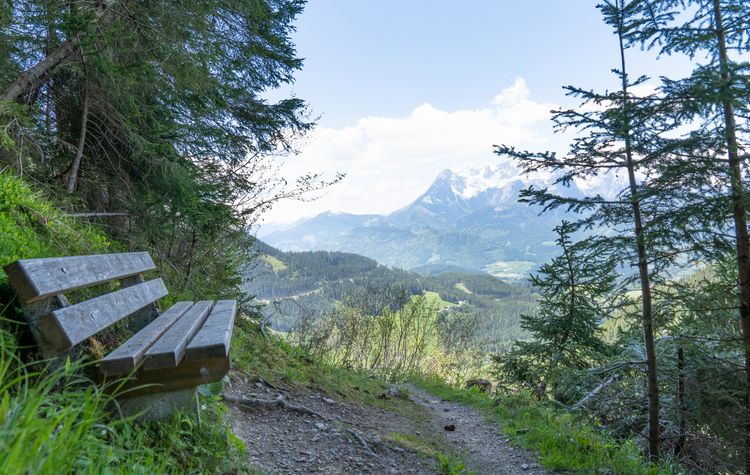
Valley Hike via Strussingalm
Time: 2 hrs Elevation change: 869 m downhill
Length: 8.6 km Trail numbers: 52 + 51
Starting point: IKARUS mountain station. Head toward Ladenberg to Strussingalm (currently closed), then descend via Hundsdorfalm (not serviced) to the valley station.

Tired legs?
Let the E-LOIS Village Shuttle take you back to your accommodation.
Daily from 12:00 to 23:00 – Tel. +43 664 12 66 700.
Ausgangspunkt IKARUS Talstation
Bischling Gipfelwanderung
Zeit: 3 Stunden Höhenmeter: 858 m
Länge: 6,4 km Wegnummern: 51 + 52
Ausgangspunkt Talstation IKARUS, über die Hundsdorfalm (nicht bewirtschaftet) zur Strussingalm (derzeit geschlossen), weiter zur Moosalm und über den Ladenberg zur Bergstation IKARUS.